|
| A view of Cave Dale from Peveril Castle |
When
looking down into Cave Dale, from Peveril Castle, the many groups of walkers who
are traversing the upper slopes are barely visible - such is the scale of this
steep sided dry valley, with crags of grey Carboniferous limestone towering above
it. Having
seen all that I needed to see at Peveril Castle, I had a couple of hours before
my planned return bus journey to Sheffield and went back down to Castleton and
set off to explore it myself.
 |
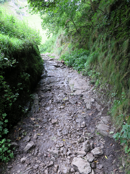
| The start of the path along Cave Dale |
At
the northern approach to Cave Dale, massive reef knolls of the Bee Low Limestone
form towering cliffs, which have been left behind after erosion by glacial meltwater, the solution of the limestone underground
to form caves and the subsequent collapse of larger caverns.
 |
| Peveril Castle |
Walking up beyond Peveril Castle, which is perched on the cliffs, the valley
narrows and steepens very suddenly, with the path stepping up and winding along
the line of the intermittent water course that has cut into the limestone.
 |
| The Geology around Castleton |
On
the geological map, the transition between knoll reefs to a back reef
environment is marked out here and, if I had walked a little bit further up Cave
Dale, I would have seen small outcrops of columnar basalt - but time was not on
my side on this occasion.
 |
| A view of Peveril Castle from Cave Dale |
All along Cave Dale, it is possible to explore the limestone that outcrops near to the valley floor but, not being that interested in palaeontology as an undergraduate, I didn’t wander off the path - except to investigate an exposed mineral vein and peer into an old adit, which is a legacy of the lead mining industry in the region.
 |
| A mineral vein |